The technological research and development project – SOCIAL DISTANCING MONITORING SYSTEM (SDMS) – emerges as part of the fight against the pandemic of COVID-19 disease and presents itself as a solution for the control and monitoring of social distance, aimed essentially at outdoor environments.

Bright Science - Social Distancing Monitoring System - Financiamento

SOCIAL DISTANCING MONITORING SYSTEM

In the current pandemic scenario of COVID-19 disease, it is essential to reduce close physical contact, which is one of the main prevention rules advised by health authorities.

This system of monitoring and accounting for traffic and data analysis, allows to follow the flows of movement, duration, permanence, and distance.

Through the dispersion of a set of devices operating in LoRaWAN® or GSM, which read equipment such as smartphones, via Wi-Fi, and which send the information to the Cloud, it is possible to perform data analysis almost instantly and act immediately, thus preventing the crowding of people or the lack of social distance.

null

Population density

Estimated in real time to maintain social distance.
null

Non-intrusive technology

Passive listening of electronic equipment in space, eliminating the need to install additional software.
null

Anonymity guarantee

It does not identify any user or store personal information, guaranteeing the privacy of the information.
null

Traffic optimization

Allows to identify, measure flows and movement patterns.

APPLICATIONS

The Social Distancing Monitoring System is installed in IoT devices applied to luminaires, lamp posts or other types of infrastructures, to allow measuring social distance in places like the following, among others:

SOLUTION ARCHITECTURE

The system is based on passive listening to electronic equipment (mobile phones, tablets or smart watches, among others) and is autonomous, eliminating the installation of any software and the use of third-party sources of information. The collection and processing of data is secure and anonymous.
The SDMS has a distributed component of Internet of Things (IoT), meaning the devices that are placed in the luminaires, and a Cloud component for management and visualization of the information collected and treated regarding the population’s density and flow movement.

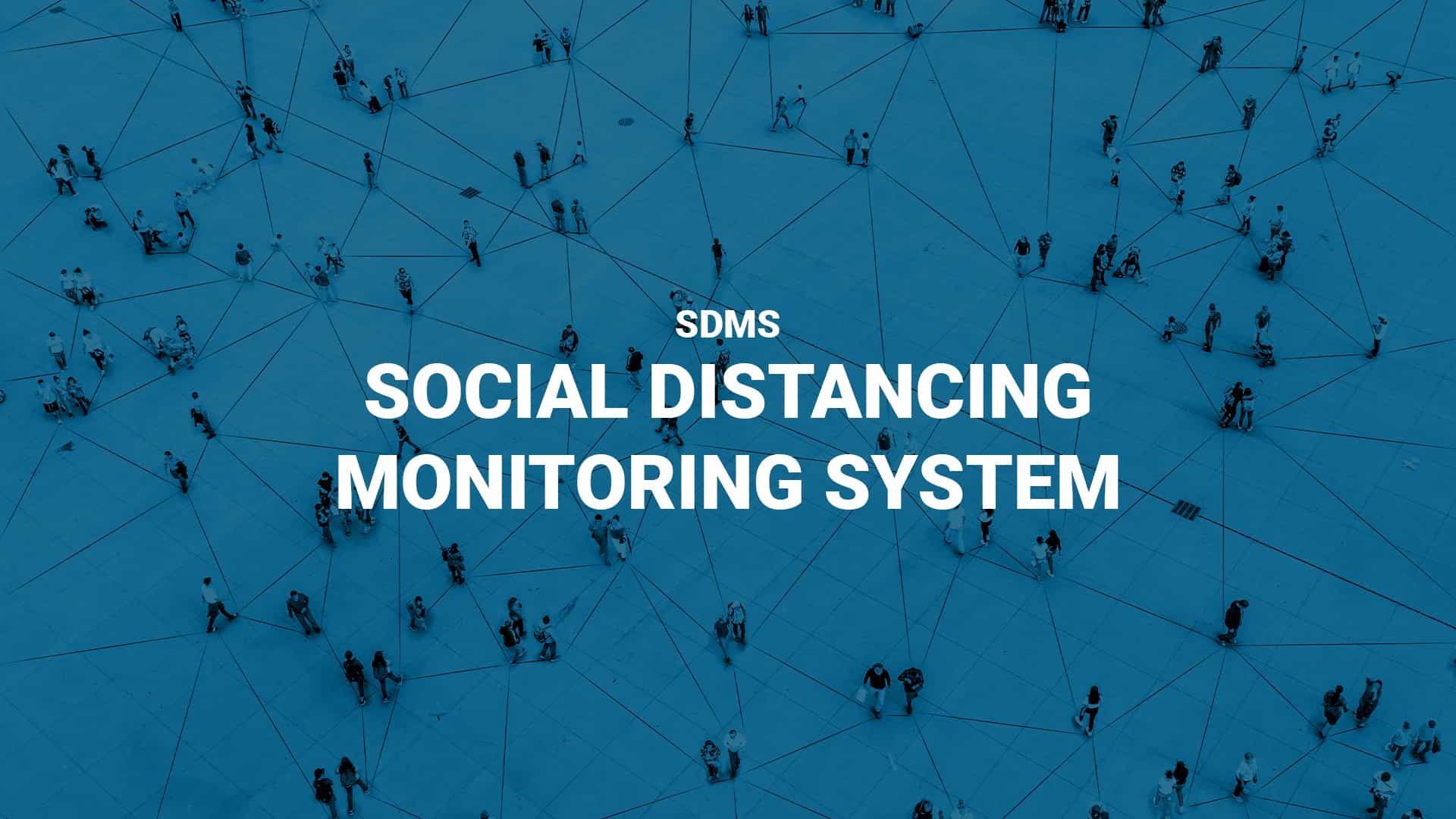
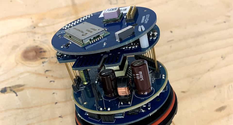
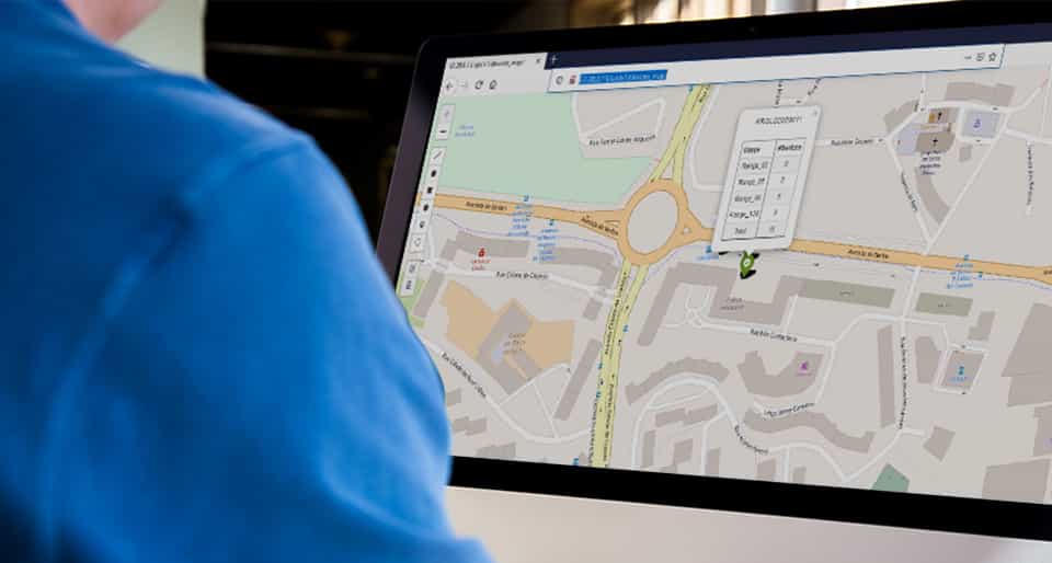
The system collects equipment information, aggregates it into unique events and based on georeferenced information and the unique identifiers of issuers, creates a people density map that assesses and gives real-time alerts of agglomerations or violations of distance safety.

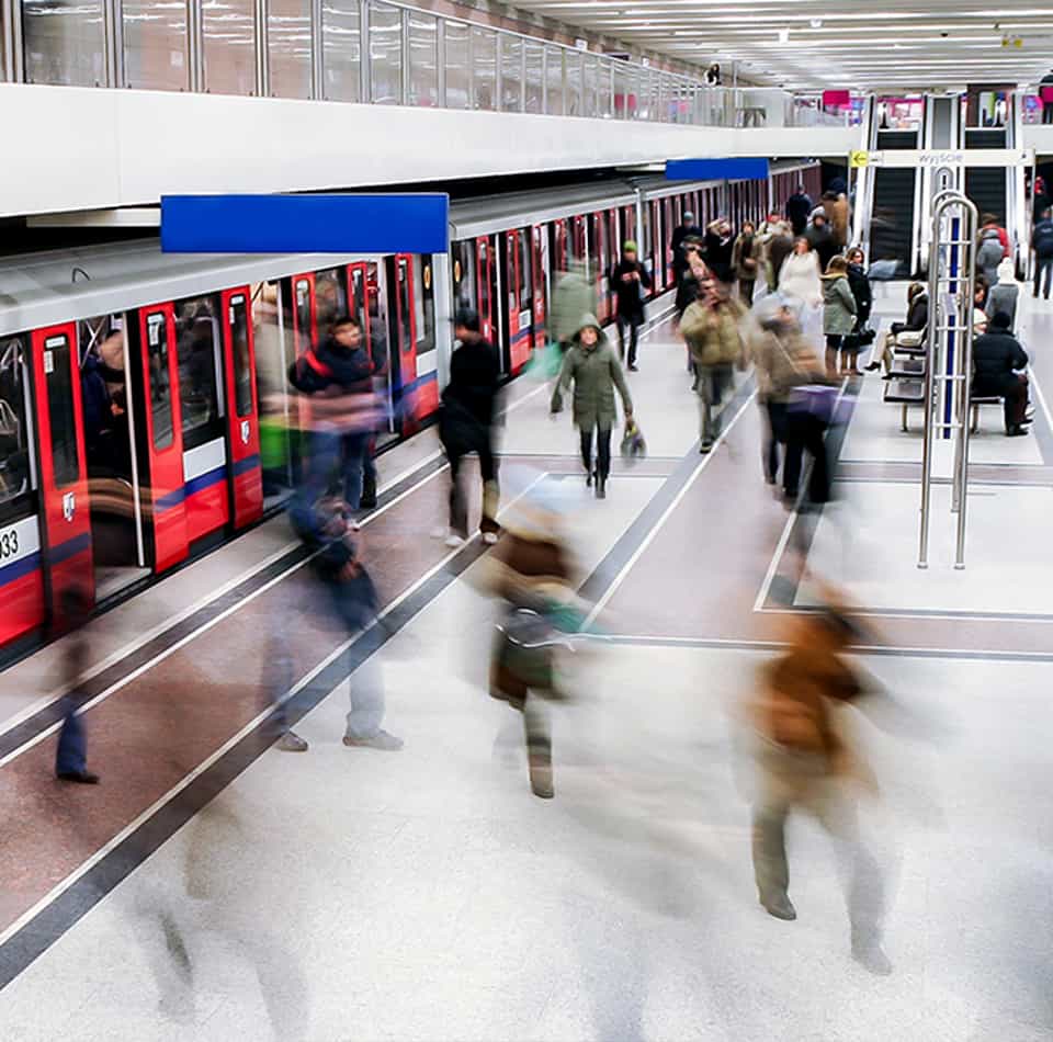
The SDMS monitors population density to ensure that social distancing rules are maintained and warns of the risk of contagion from COVID-19, as well as indicating the location of the violation. As a secondary objective, it can also identify and measure flows and movement patterns (number of unique visitors, most used routes, daily or weekly variations, among others), which allows to optimize the management of areas of great circulation in cities and continue to obtain returns investment far beyond the current pandemic context.

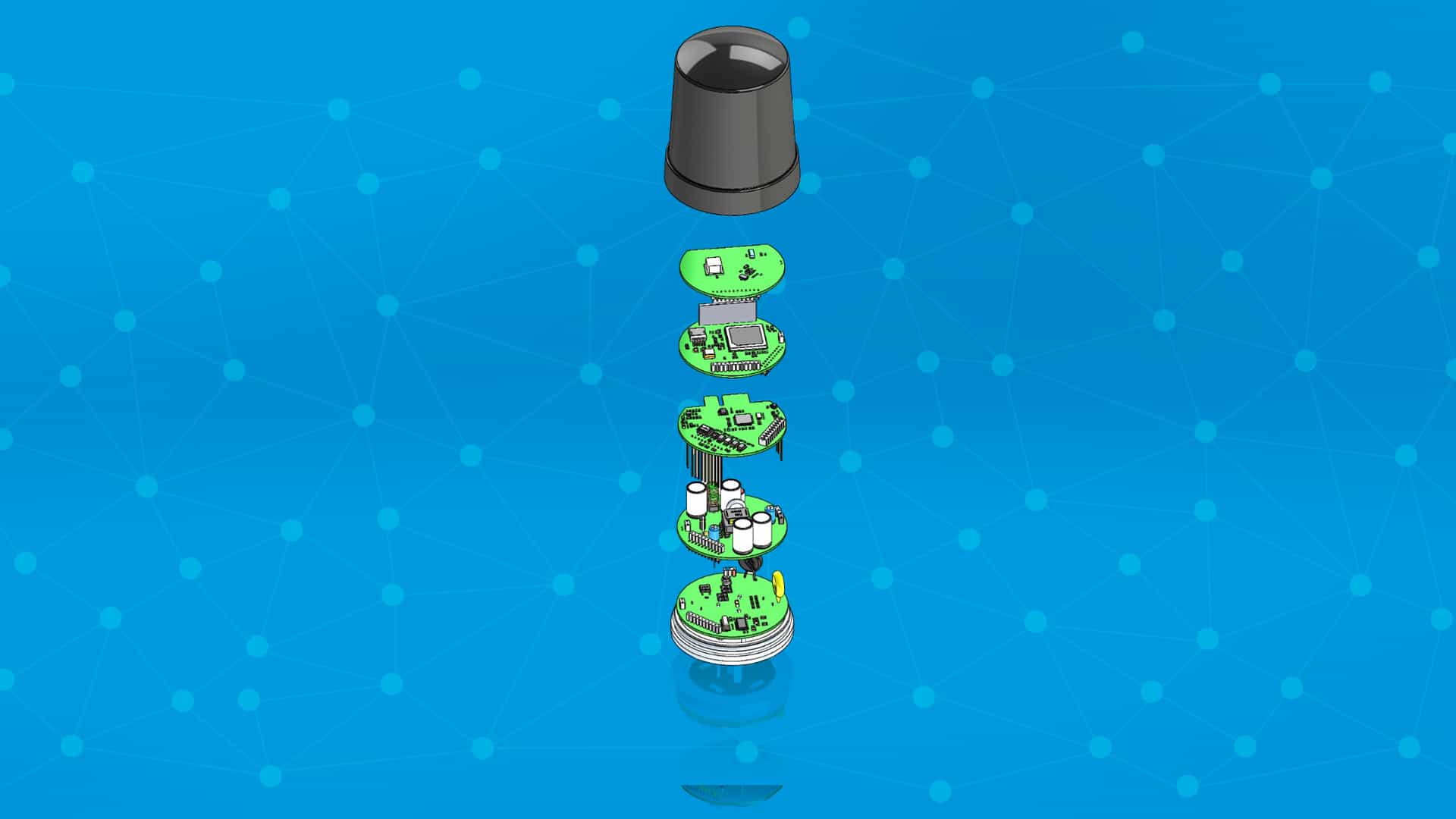
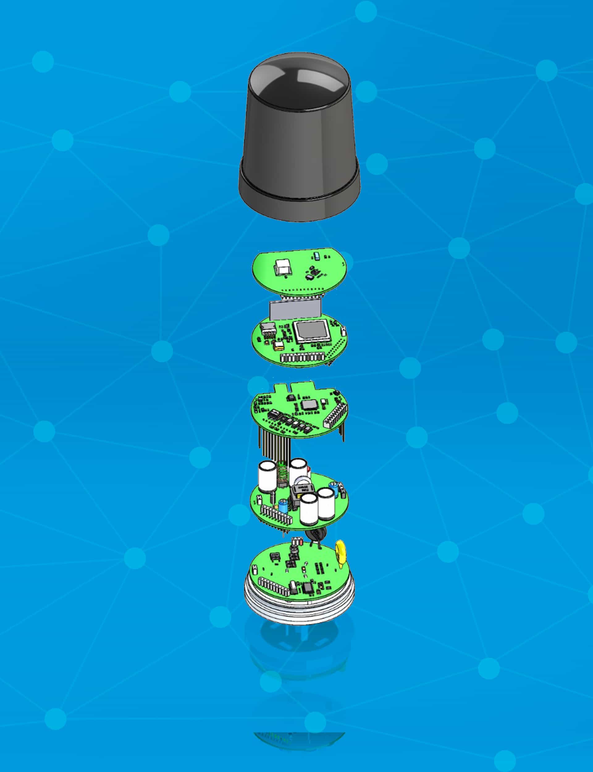
With Bright Science’s central control solution for intelligent management of street lighting fixtures, it is possible, in a non-intrusive way, to map and estimate in real time, the density and counting of people in dynamic blocks, alerting and giving the alarm when the recommended density is exceeded. This is a suitable solution to provide municipalities, entities that manage public spaces, security forces and others.

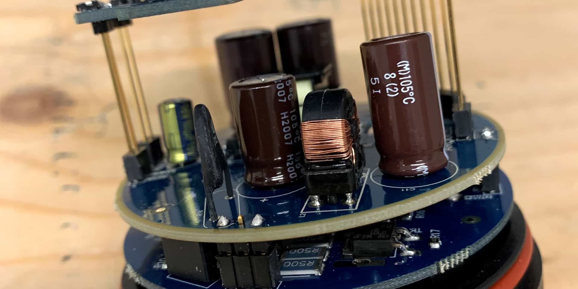
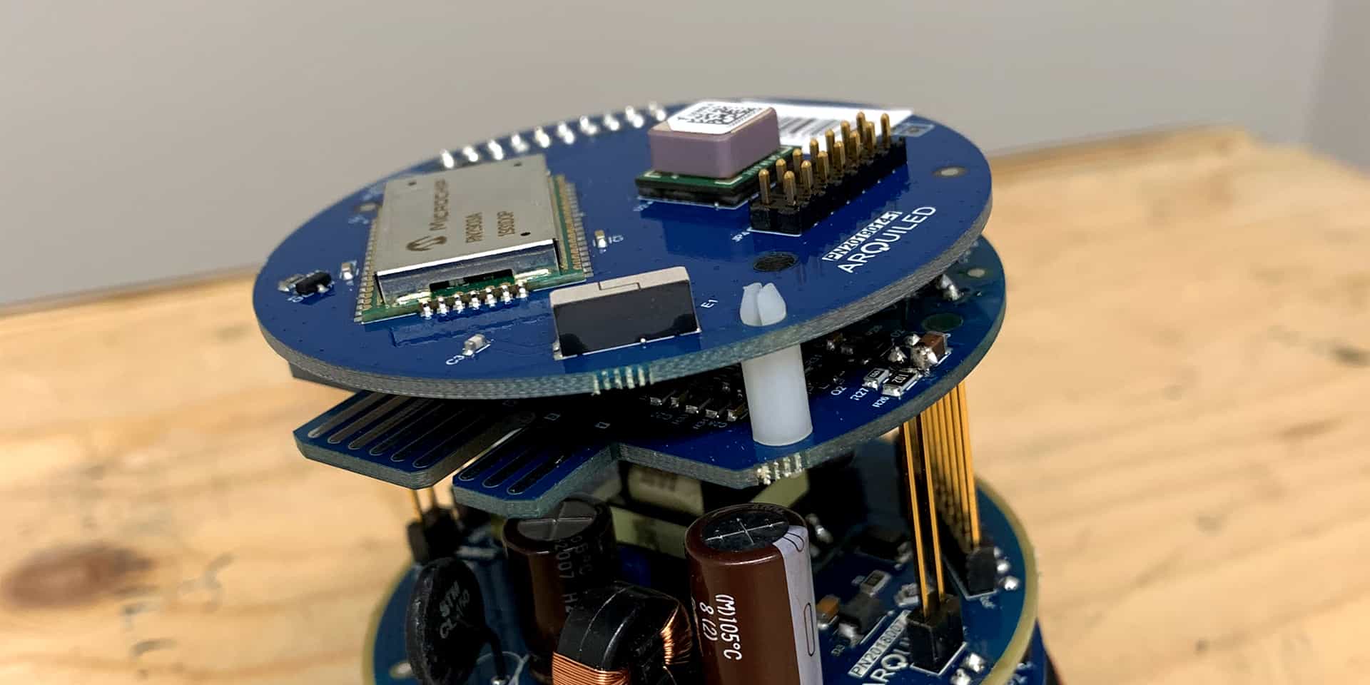
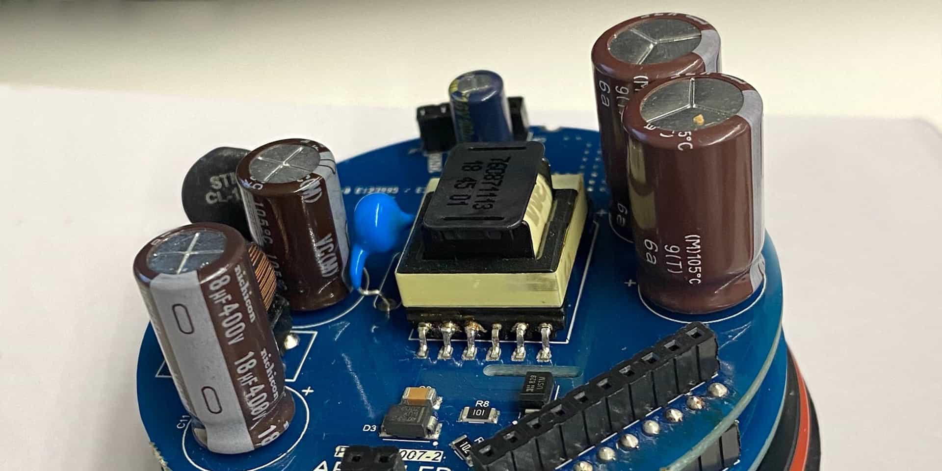
From a computational and network resources point of view (telecommunications) it is very light, allowing for a very economical solution with low operating costs.

From a technical point of view, SDMS can locate at least 75% of devices within a radius of 100 meters from their location. The data update takes between 1 and 15 minutes and may vary depending on the volume of data obtained or the rate of precision / convenient agglomeration.

The devices have a modular electronics structure (power supply, communications, processing, and operating system) and a Wi-Fi / Bluetooth antenna responsible for sensing (namely in person), to capture communications from electronic equipment and identify them through the respective MAC Address.

By “listening” to the various transmitters located in its vicinity, it anonymizes the data of the issuer (MAC Address) but ensures that the system recognizes it without knowing who it is, through hashing. For the Cloud, the device never communicates the MAC Address, just a number (hash) that allows the equipment to be identified between pairs (nearby sensors) without allowing the MAC Address to be recovered, thus guaranteeing anonymity.

In a second stage of processing, the system collects information from the equipment, aggregates it into unique events and based on the georeferenced information and the unique identifiers of the emitters, creates a density map of people that will allow to provide real-time alerts of agglomerations or breaches of safety distances that increase the risk of infection from COVID-19.

CRITICAL RESEARCH AREAS

In this project, various approaches to event detection are integrated, in a platform for monitoring the density of people and their circulation flows and ensuring compliance with security and privacy standards at a global level. The research work, in addition to integrating current solutions, also focused on proposing advances, improvements and innovations in the following components:

The proposed challenge was to achieve a high flexibility combined by the relationship between the use case and the evolution of developments with more than one communication technology to address future technologies. The modularity in the solution design, allows us to enhance the hardware reuse of the constituent components, both in the development processes, as in the different test and production scenarios, maintaining common structures and hierarchies.

The modules designed at the hardware level are power meter, power supply, main processing unit, IoT communications unit and acquisition (sensor) and processing unit.

The addressing of the physical radio layer at 2.4GHz is carried out through the inclusion of an OEM module, allowing to obtain accelerations in hardware such as demodulation and digital signal control.

The architecture of the developed firmware takes advantage of generic libraries and the promiscuous mode of operation in which access to the decoded data frames is absolute (without filtering). With this level of abstraction, direct access to the RSSI signal level of the identified communications, the range of frequency channels used, and the content carried in the network protocol of the IEEE 802.11 standard is achieved.

At the level of the sensor device, the defined architecture allows multiple communication options, having been implemented in this case two types: LoRaWAN® and GSM / 2G.

The investigation focused on the most demanding case in terms of characteristics and resources – LoRaWAN® – so that the approach can be replicated in an appropriate way to other technologies. In the case of using LoRaWAN® technology, restrictions are more sensitive to data volumes (in the order of tens of bytes) and to greater latency.

The research work focused on two main aspects:

  • Minimize the impact on the use of the communications network.
    Deduct a management model based on variable time sampling, appropriate to the memory capacity of the sensor’s microprocessor and two alternative information structures, in which it is possible to aggregate information locally in meters. The information is compressed whenever the method becomes efficient (depending on the quantity and frequency of the values to be transmitted).
  • Ensure the consistency, authenticity and anonymity of the data collected.
    In the second point, hashing techniques and combined cyclic redundancy verification were applied to reduce and derive identifiers, making them anonymous and guaranteeing data integrity at the same time.

The interface allows to map and estimate in “real time”, the density and count of people in blocks / areas / shapes that can be dynamic. When a certain parameterized density is exceeded, it gives an alarm.

As a secondary objective, the system should measure flows of people, for example unique visitors, most used routes, daily and weekly variations and others.

Bright Science - Social Distancing Monitoring System - Interface

CONTACTS


    2021, BRIGHT SCIENCE - Estudos de Engenharia e Ensaios, Lda
    The images presented are for illustrative purposes and may differ from the final product.
    LoRaWAN® is a registered trademark of the LoRa Alliance®.